
Our Services

Aerial Survey and Inspections
Progress Mapping, Photos and Video
Site Mapping and Ortho Imagery for Satellite View
Aerial Inspection for Construction Sites
Survey Quality Data
Raw Surface Data Files for Customer Use
Stock pile take-offs
Earthwork Analysis
Imagery Takeoffs
Survey Quality Deliverables:
Geographically referenced imagery
Orthomosaic aerial photos
Surface Files for surface to surface analysis
Thermal Imaging
Thermal roof and building inspection
Thermal loss and efficiency review
Large Scale Equipment and Material heat dissipation
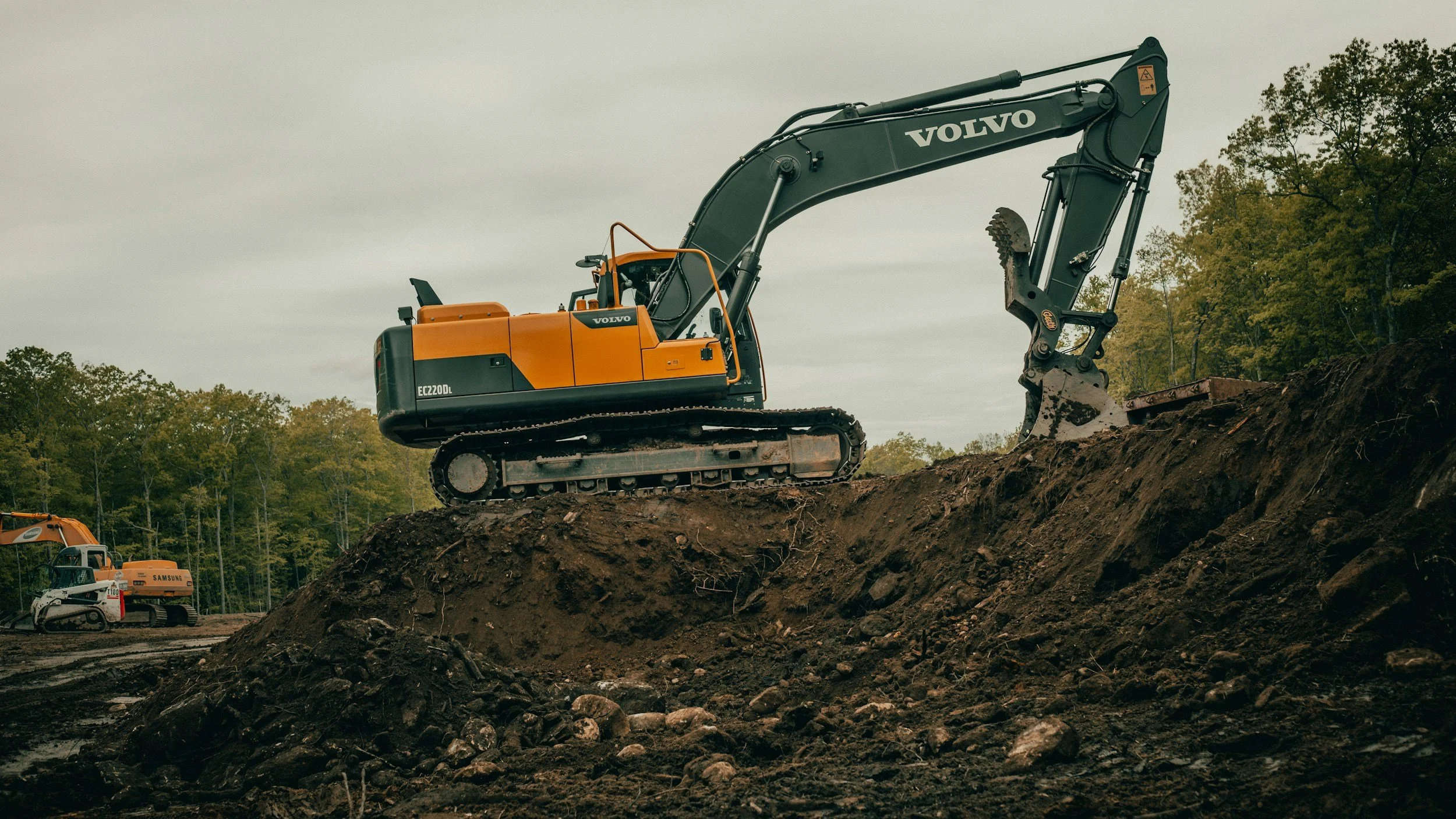
Civil Construction
Land Clearing
Storm Water Management and Drainage
Bioretention Basins
Underground Detention and Infiltration
Ground Water Mitigation
Storm Sewer
Surface Improvements:
Asphalt Driveways and Parking Lots
Concrete Sidewalks and Pads
Underground Utilities:
Water, Sanitary Sewer, Storm Sewer services
Earth Work:
Bulk excavation
Top Soil Placement, import/export
Soil conditioning/Stabilization
Grading
Sink Hole Repair
Engineered repair/restoration
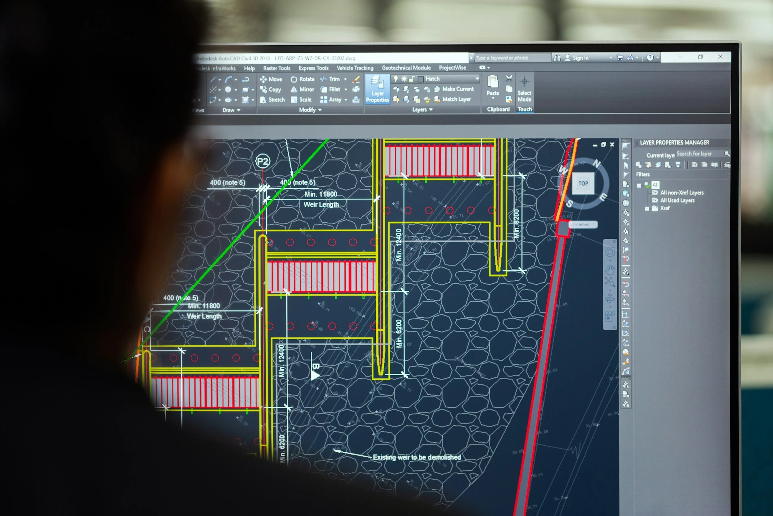
Consulting and Design
Pre-Construction Review and Project Analysis
Cost Analysis and Budgeting
Take Offs
Estimations
Constructibility and Feasibility Review
Value Engineering with cost savings analysis and VE credit
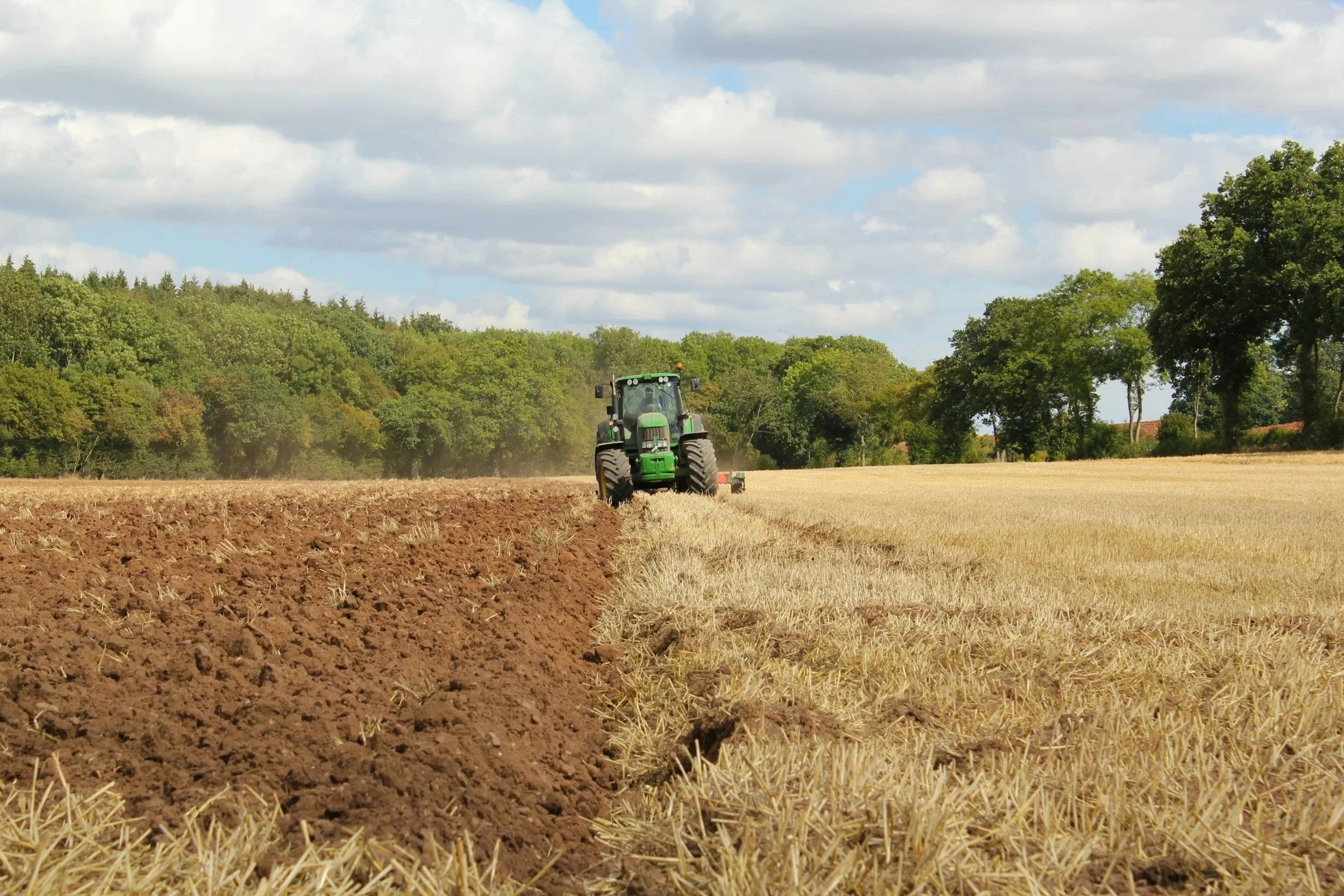
Habitat Improvement
Food Plot Installation
Consulting and Design
Till and No-Till Planting options
Thermal Wildlife Studies
Deer Census Reporting
Soil Amendments
Provide soil testing and analysis
Place fertilizer, lime and organics
Land Clearing
Sub-Soil Preparation
Full Property Consultation and Design
Habitat Based Timber Improvements
Planning and Mapping
Stream Restoration
Shoreline Improvements
Pond Construction
Fish Habitat Installation